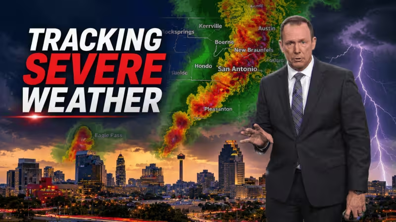
A tornado warning was in effect Wednesday for parts of Atascosa County, and people in the warned area were told to seek shelter immediately as severe weather moved across South Central Texas. Large hail and damaging winds were the main concerns.
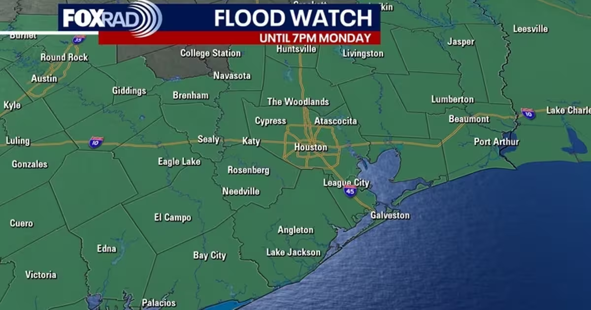
The warning came as San Antonio remained under a Flood Watch through Wednesday morning, with the watch extending west along Hwy 90 to Del Rio and covering the Hill Country as well. A Severe Thunderstorm Watch also was in effect until 9 p.m. from Medina County west to Val Verde County, though it did not include Bexar County, Kendall County, Comal County, Guadalupe County or the Atascosa County border with Bexar County at that time.
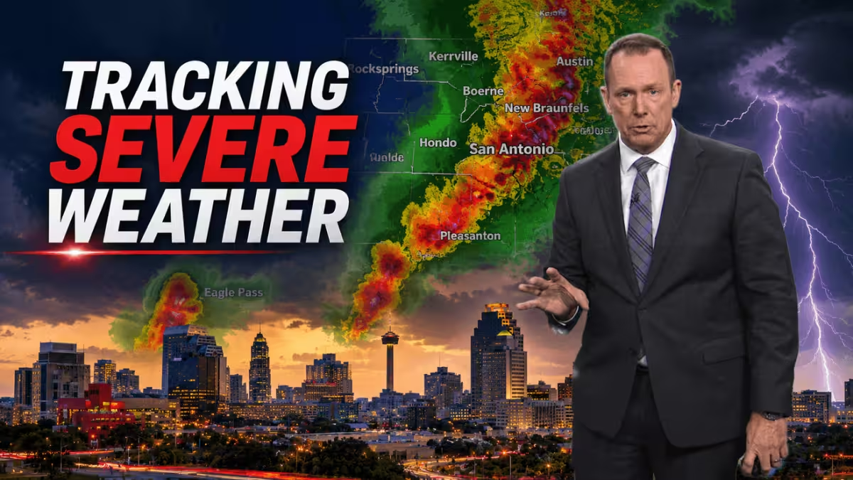
The broader setup kept much of the region on alert for a rough stretch of weather. South Central Texas was under a Level 1 to Level 2 out of 5 severe storm outlook for strong winds and hail, and late evening into the overnight could see widespread storms move across the area.
For San Antonio, the timing matters because the flood threat and the stronger storm threat are overlapping, not separated. Today’s forecast called for variably cloudy skies with a 30% chance of afternoon rain and an 80% chance of rain at night, while Wednesday was expected to be variably cloudy with a 40% chance of rain. Thursday was forecast to turn partly sunny with only a 20% chance of rain.
The practical question now is not whether the weather will keep changing, but where the worst of it lands next. With a tornado warning already issued in Atascosa County and flood concerns stretching across the city and beyond, the immediate advice for anyone in the warned area is the simplest one: get inside, and stay there until the danger passes.