Rain showers will become more scattered through daybreak in Central Ohio, but the break will not last long. A low-pressure system and warm front lifting north through the state are setting up another round of showers and thunderstorms, with the most active window watched from 2 PM to 8 PM.
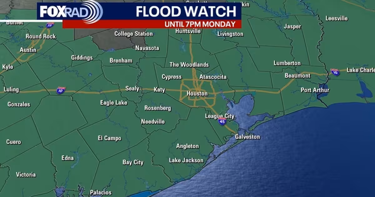
The concern Saturday is not just rain. Storm development is being monitored this afternoon under a Marginal Risk of severe weather over Central Ohio, and forecasters say a brief tornado cannot be ruled out. A Flood Watch also remains in effect for counties east of Ohio until this evening, a reminder that saturated ground and repeated rounds of rain can quickly turn a wet day into a dangerous one.
That threat comes as the holiday weekend settles into a pattern that keeps putting storms back on the board. Saturday is expected to bring a wet morning and scattered rain showers and thunderstorms in the afternoon, with a high of 74. Tonight stays unsettled with a few showers, patchy fog and mostly cloudy skies, and the low slips only to 61.
The same damp setup carries into Sunday. Another cold front dips into the area by Sunday afternoon, and the day is expected to be mostly cloudy with scattered rain showers and thunderstorms developing later. The high climbs to 80, but the warmup does not come with a clean stretch of sunshine. Monday stays mostly cloudy as well, with a slight chance for rain showers and another high near 80, while overnight temperatures remain mild in the low 60s.
That is the part that matters most for anyone trying to plan around the holiday weekend: there is no true dry reset before midweek. The front stalls to the south on Monday and Tuesday, keeping clouds and humidity in place, then a better chance for rain arrives on Wednesday as showers may reach I-70. For Columbus, the weather headline is simple. Saturday brings the strongest storm risk, the weekend stays unsettled, and the next meaningful shot at broader rain holds off until Wednesday.