Daily rounds of showers and thunderstorms are set to hit the Baton Rouge area through the weekend and into next week, with localized flash flooding threatening poor drainage and urban spots. Tonight and tomorrow, early showers and thunderstorms will taper off, leaving partly cloudy skies and quiet conditions past midnight.
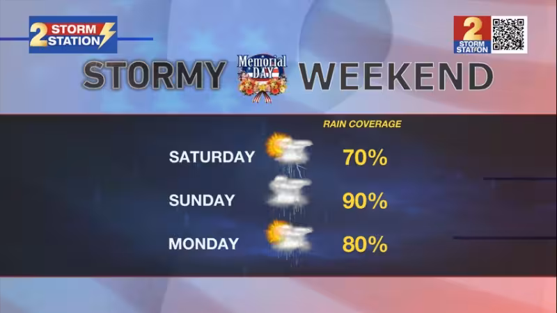
By Saturday afternoon, another wave of energy in the atmosphere will launch numerous showers and thunderstorms, and rain coverage should be high by late afternoon. Highs will top out in the mid 80s before the rain arrives, but Sunday is expected to bring the weekend’s highest flooding threat as a potent wave tracks right over the Bayou State.

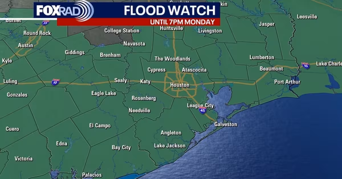
The forecast points to 4 to 7 inches of rain, enough to cause localized street flooding and poor drainage flooding in some areas. Even so, full washouts are not expected over Memorial Day weekend. Monday may be relatively quieter, but numerous showers and thunderstorms are still likely, and the active pattern shows no sign of breaking through the holiday.
That pattern fits a Gulf Coast region that remains under a conveyor belt of tropical moisture because of a large, persistent dip in the steering over the central United States. From Tuesday through Friday, daily rounds of afternoon showers and thunderstorms are expected to continue, with about 4 to 7 inches of additional rain possible over the next seven days. Daytime highs will stay in the mid-to-upper 80s, while nighttime lows will hold in the low 70s thanks to clouds and humidity.
For now, the question is not whether the rain ends this weekend. It is whether the Baton Rouge area can keep up with repeated downpours long enough to avoid the kind of flooding that turns a wet holiday stretch into a harder one.