
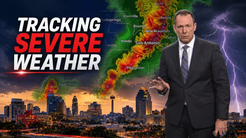
Severe weather moved across South Central Texas on Tuesday night, triggering a Flash Flood Warning for the San Antonio area until 1:15 a.m. and Tornado Warnings for parts of Atascosa County and Bexar County until 10:30 p.m. Large hail and damaging winds are the main severe weather concerns, and forecasters are warning people in the path of the storms to seek shelter immediately.
The most urgent alerts stack on top of one another across the region. A Severe Thunderstorm Watch remains in effect until 9 p.m. from Medina County west to Val Verde County, while in Bexar County the watch stays valid until 6 a.m. Wednesday. A Flood Watch is also in effect for San Antonio and the Hill Country through Wednesday morning, underscoring the potential for rapid, life-threatening flooding if heavy rain keeps training over the same areas.
For people watching kens 5 weather updates, the timing matters as much as the threat. The warnings cover the evening commute, the overnight hours and the first stretch of Wednesday, when roads are hardest to judge and dangerous water can rise quickly in low-lying spots. The forecast for today calls for variably cloudy skies, a 30% chance of rain and highs of 86 to 90, but that quieter setup does little to soften the immediate risk already on the ground.


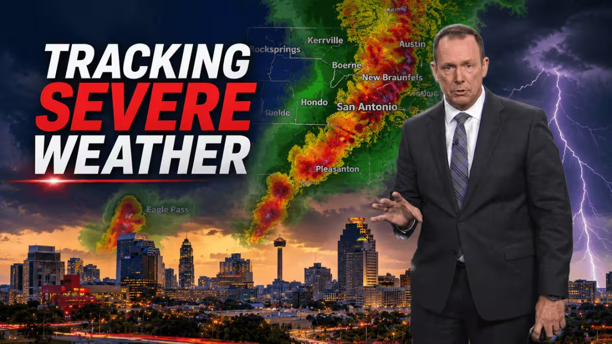
By Wednesday, conditions are expected to stay unsettled, with variably cloudy skies and a higher rain chance listed in separate forecasts at 40% and 50%. Thursday offers a modest break, with partly sunny skies, a 20% chance of rain and highs again in the 86 to 90 range. Wind forecasts also point to a breezy pattern, with southeast winds near 7 to 14 mph, then 10 to 20 mph, and east-southeast winds around 5 to 10 mph in some periods.
The tension in this storm setup is that the worst threats are not all coming from one hazard. The watch and warning combination means hail, wind, flooding and tornadoes are all in play at the same time, which can make the difference between a short-lived downpour and a dangerous night for anyone traveling or sheltering near creeks, drainage ditches or mobile homes. The flood watch runs through Wednesday morning from San Antonio and the Hill Country west along Hwy 90 to Del Rio, extending the danger well beyond the current round of warnings.
That leaves one clear message for residents trying to get through the night: the storm threat is immediate, layered and not finished when the rain eases for a moment. The strongest concern now is not whether the system will produce severe weather, but how many communities it will hit before the watches and warnings finally expire.