
Weather Boston is shifting from early-autumn warmth to a cooler, wetter stretch as a front that followed back-to-back afternoons in the mid-80s brought scattered afternoon sprinkles on Wednesday. The change will be felt quickly: Thursday should stay mostly dry in Greater Boston, but another round of showers is set to arrive by Friday and linger through much of Saturday.
Wednesday marked the 13th day this month that temperatures reached 70 degrees or warmer across Greater Boston, and the 6th day with 80-degree weather. Boston has now logged nine consecutive years of at or above normal 70-degree days, and this month has also produced three 90-degree days, the highest total since 2017. For people who have spent much of September moving between summer heat and brief cool-downs, the next few days will feel like a reset. New England is expected to run five to 10 degrees cooler than average as the pattern settles in.


Thursday should be the calmest day of the stretch. Morning temperatures are expected to start in the upper 50s and low 60s, with more sunshine early than later in the day. Instability could still trigger popcorn showers across New England during the afternoon, although Boston should stay dry for most of the day and only a quick sprinkle cannot be ruled out. Highs are expected to reach the low 70s inland and the upper 60s along the coast before temperatures ease into the low 50s Thursday evening.
The next change arrives Friday, when a Canadian storm is expected to race south into New England. Greater Boston should remain dry until around the commute home, but showers are expected to spread in and then stick around through most of Saturday. The heaviest action is expected to stay north of Greater Boston on Friday and Saturday, yet parts of New England could still pick up as much as two inches of rain. Boston may end up with around half an inch by Saturday evening.
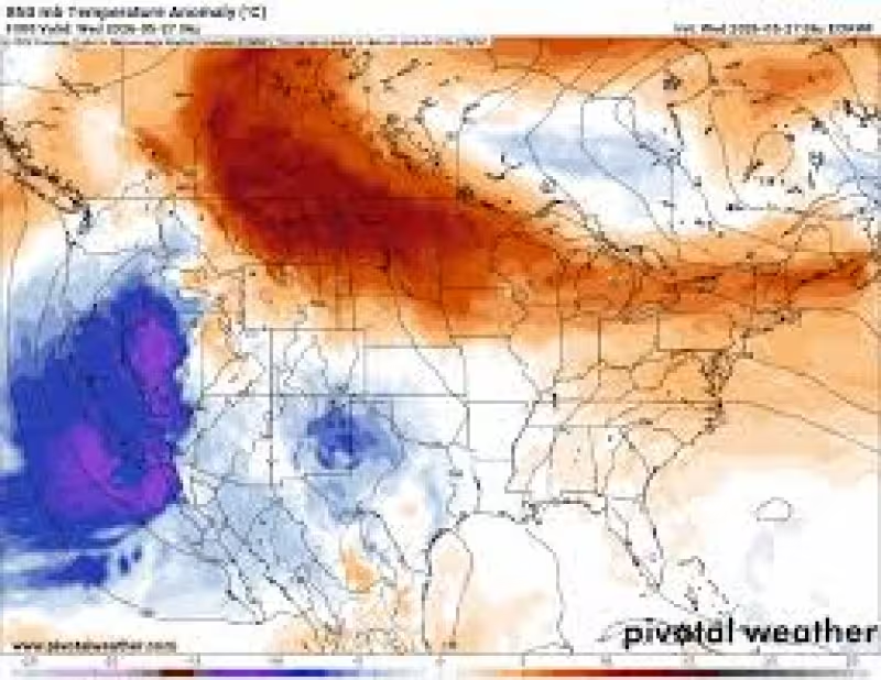
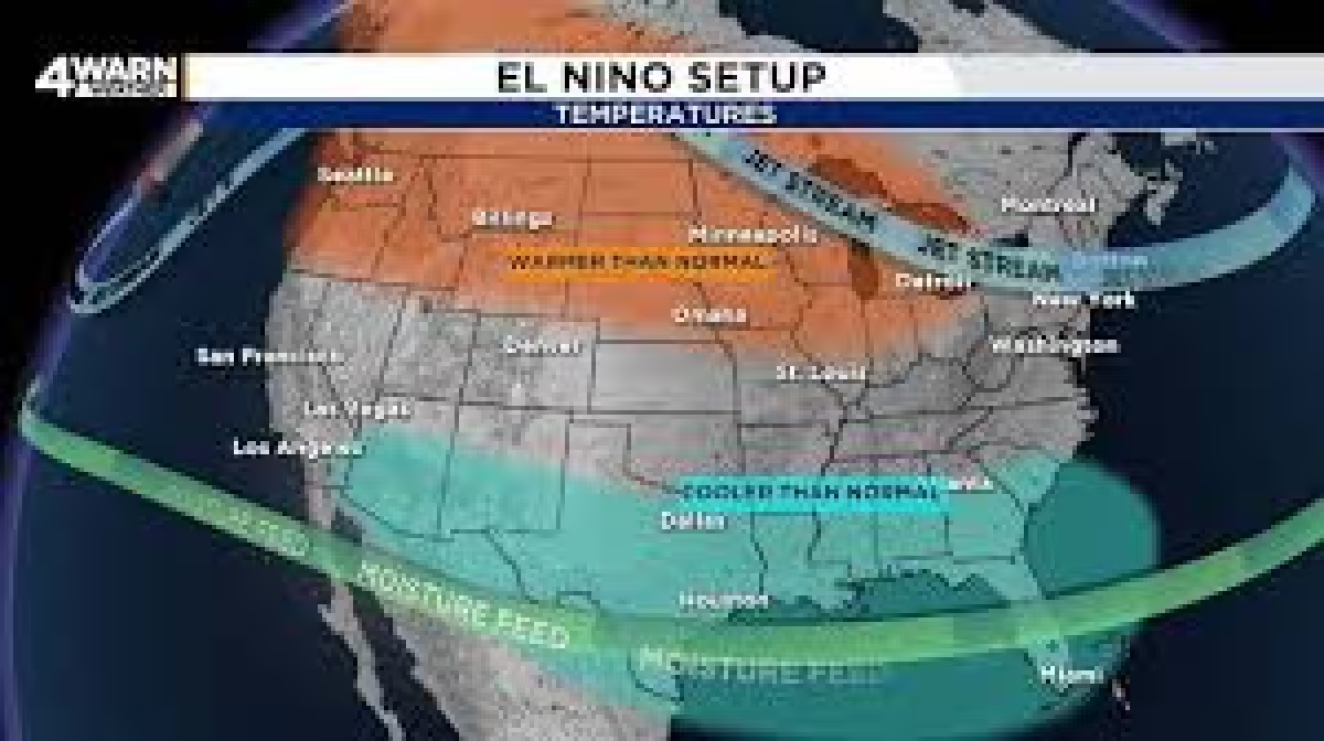
Farther north, the weekend may even start cold enough for a little late-season wintry weather. In parts of Northern New England, Saturday morning lows may hover near the mid-30s, with a few snowflakes possible at the higher elevations and accumulating snow at the highest peaks. The cooler pattern is tied to an Omega Block and a dip in the jet stream south over New England, a setup that should keep cooler air over the region for several days. For Boston, the answer is straightforward: after the heat, the city is headed into a cooler, unsettled stretch, with Thursday mostly dry, Friday turning wet, and Saturday staying soggy for much of the day.