
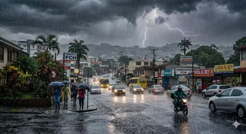
Costa Rica was under a weather warning for Saturday, May 23, as forecasters said heavy rain and thunderstorms were likely to spread across much of the country. The National Meteorological Institute issued the forecast warning and said the morning could start quietly in several regions before conditions worsened later in the day.
The institute said an unstable and highly humid atmosphere was set to dominate the country, with the Intertropical Convergence Zone parked just off the Pacific coast and feeding cloud cover and moisture inland. That setup was expected to trigger widespread showers and thunderstorms, with offshore storm development pushing dense cloud layers toward the interior and setting up significant afternoon and evening downpours.
Residents were told to expect rainfall of varying intensity starting in the afternoon and continuing into the early evening hours. The warning also urged people to follow local IMN updates, drive carefully during heavy downpours and carry an umbrella if they planned to go out that afternoon.
The timing matters because the rain threat was not limited to one corner of the country; moisture flowing in from the Pacific Ocean was expected to keep a highly unstable environment over most of the national territory through the day. That means the quiet start many areas may see in the morning could quickly give way to a much wetter and more unsettled afternoon.
The gap between the calm morning and the forecast for later storm development is the key risk for Saturday. The warning was not about a passing shower, but about a weather pattern strong enough to build through the day and leave road conditions and outdoor plans vulnerable by late afternoon and into the evening.
For people across Costa Rica, the practical answer is simple: the weather warning points to a day that may begin with little urgency and end with widespread rain, thunder and difficult travel. The institute’s advice is to stay alert, keep up with updates and be ready for the forecast to turn quickly after midday.