
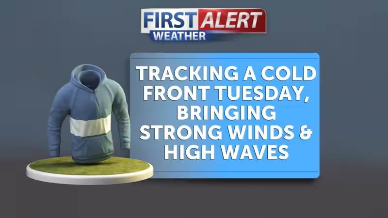
Mid to high level clouds filled the skies early Tuesday morning as a cold air mass pushed into the Central Coast, tracking a fast-moving change that knocked temperatures down a few degrees and set off safety notices for the afternoon and evening.
By Tuesday afternoon the impacts were clear on the schedule: Wind Advisories went into effect at 2pm, and High Surf Advisories kicked off at 5pm. Temperatures that day maxed out in the 60s and 70s even before the advisories, a modest but unmistakable drop from the recent run of warmer conditions.
The numbers give the shift its weight. Temperatures fell a few degrees on Tuesday, highs topped out in the 60s and 70s, and the advisory timeline — 2pm for winds, 5pm for surf — tied the weather to specific risks on the coast that people could see and plan around.
Wednesday was forecast to be the coolest day of the week, with a mix of clouds and sun expected across the region and misting and drizzle possible from the marine layer early in the morning. Most beaches were expected to stay dry on Wednesday despite the marine layer’s thin veil, but the evening forecast carried sharper language for inland areas: spotty showers and thunderstorms were likely around the Kern County border by Wednesday evening, with total rain amounts expected to be less than a tenth of an inch.
That context matters because the cold air mass was described as parked over the Central Coast on Wednesday — not a one-day blip but a short-lived pattern that would keep the area below normal for a time. The forecast kept most of the wet weather light. Rain amounts under a tenth of an inch and the prediction that most beaches would remain dry made clear that this was a cool, damp interlude rather than a soaking event.
The tension in the forecast comes from two mismatched signals. The coast faced wind and high surf advisories by late Tuesday, which suggest conditions rough enough to affect travel, beach access and small craft. Yet the precipitation threat was limited: misting, drizzle and inland pop-up light rain were the main rainmakers, and measurable totals were expected to stay minimal. In other words, conditions looked inconvenient and potentially hazardous for coastal activity while offering little in the way of significant rainfall inland.
Thursday was expected to remain below average, with the possibility of pop-up light rain inland early in the day. Forecasters expected rain chances to diminish to zero after breakfast on Thursday, signaling a rapid drying trend through the daytime hours. That window — light inland rain before breakfast fading to nothing afterward — sets up a clear break between the cool, unsettled midweek pattern and the warmer conditions that followed.
A weekend warming trend was expected to begin on Friday, with temperatures forecast to return to beach weather by the weekend. The practical effect is simple: the region would move from a Tuesday and Wednesday of clouds, cooler highs and isolated drizzle to a Friday and weekend with warming and likely much more typical coastal conditions.
For anyone planning outdoor time on the Central Coast this week, the schedule is straightforward: expect cooler, cloudier weather and advisory-level winds and surf late Tuesday; Wednesday should be the coolest day, with early-morning drizzle possible and isolated evening showers or thunderstorms confined near the Kern County border, producing under a tenth of an inch where they occur; Thursday morning may still hold a pop-up shower inland but should clear out after breakfast; and by Friday the pattern was expected to shift toward a warming trend and a return to beach-weather temperatures over the weekend.