
A 3.2-magnitude earthquake struck near Malibu at around 8:12 p.m. Monday, shaking a wide stretch of Southern California but causing no reports of injury or damage. The quake hit about five miles south of the coastline in the Pacific Ocean at a depth of more than seven and a half miles.
People reported feeling the shaking as far northeast as Santa Clarita and as far south as Huntington Beach, a reminder of how far a modest offshore jolt can travel through the region. It came after a much smaller 1.1-magnitude earthquake in nearly the same area last Friday.

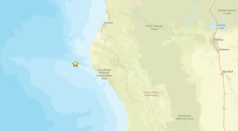
The Malibu quake was the latest in a day that also brought a separate 3.2-magnitude earthquake in the Pacific Ocean near the Northern California coastline. That tremor was reported at about 6:53 a.m. PT Monday, 18 miles west of the Humboldt County community of Petrolia, in the stretch of coast known as the Lost Coast area.
That northern section of the state has been active before. A swarm of earthquakes in the ocean off Humboldt County jolted the same area in May 2025, when the largest reached a reported magnitude of 4.6. A similar offshore area near Eureka was struck by a 6.4-magnitude quake in December 2025, an event that knocked some homes off their foundations and triggered widespread power failures.
For Monday night’s quake near Malibu, the immediate question has already been answered: it was felt broadly, but it did not cause reported harm. The larger concern is the pattern itself — small offshore quakes on both ends of the state, in places that have shown they can move without much warning.